
Knockatagglemore [Cnoc an Tseagail Mor]
Good walks are even better shared.
Overview
Knockatagglemore [Cnoc an Tseagail Mor]
Nestled in the serene wilderness of Western Ireland, Knockatagglemore is a peak that invites adventurers to experience its rocky terrain and splendid panoramas. Towering at an elevation of 617 meters, this Marilyn invites hikers with its accessible routes and charming summit features.
Geology
Knockatagglemore's geology consists mainly of schist and granite—rock types that tell tales as old as time. The schist lends a rugged quality to the landscape, while the granite adds a splash of elegance. Together, they form a mountain that not only challenges your calves but also pleases your geological curiosity.
Routes
The Clooncorick Loop is a popular route starting at a small car park. This 8.5 km loop will take you through undulating hills interspersed with streams, creating a delightful sensory experience. Plan on around 3.5 hours to complete this moderate trek. A word of caution—do keep an eye on the weather; even the sunniest days can change at a moment’s notice in this neck of the woods!
Summit Features
When you reach the top, you are greeted by a quaint cairn that serves as a silent witness to the countless adventurers who have stood in awe here, sharing stories and leaving tokens behind.
Terrain Type
Get ready for a varied terrain; grassy patches compete with rocky outcrops and boggy sections that may have you singing the blues if you step in too deep. Bring your best boots!
Views
The summit offers a spectacular view, where you can marvel at Loughs Mask and Corrib, and the rugged edges of the Maamturks stand proudly to the west. For the best views, spring and early autumn are your best bets.
Hazards
While the views can be breathtaking, do be cautious of hazardous boggy areas and rapidly changing weather. As they say, if you can’t see the mountain, it's probably because it’s wearing its misty coat!
Nearby Summits
For those keen on bagging more peaks, don’t miss out on Bencorr Mountain (753m) and Bencollaghduff Mountain (637m), both of which promise their own share of stunning vistas.
Access
To get to Knockatagglemore, the nearest parking area is at Clooncorick, where you can pop your car if you're lucky enough to grab a spot. Public transport is a bit of a chore, so having your own wheels is advisable. The quaint village of Cornamona is the closest town, and it’s just a short drive away.
Facilities
While you won’t find a bustling café at the summit, Cornamona has you covered with a couple of cafés and basic amenities, providing a perfect pit stop post-hike to refuel.
History
The mountain's name, Cnoc an Tseagail Mor, means 'The Hill of the Big Crag', giving us a peek into the local heritage and the Gaelic roots that run deep here. This region is steeped in history and has significance for the local community, offering a glimpse into ancient Ireland.
So pack your lunch, lace up those boots, and let's hike!
Explore routes near Knockatagglemore [Cnoc an Tseagail Mor]
Public walks starting within 80 km of this hill. Nearby does not mean a route reaches the summit; check its map and access before setting out.
No public routes are currently listed within 80 km of Knockatagglemore [Cnoc an Tseagail Mor] on Walkmates. This does not mean there are no paths here. Explore the map and check local access information before planning a walk.
Route planning notes
These notes describe possible approaches, not verified navigable routes or permission to cross land. Check current paths, local access rules and conditions before setting out.
Clooncorick Loop
Starting from the small car park at Clooncorick, this looped route takes you through rolling hills and across streams before ascending to the summit.
Make a day of it, together
Find someone to share the walk with, or organise a day out along a route you like.
Hill facts and local notes
Classifications
Elevation
330m
1,083 ft
Prominence
104m
Coordinates
52.1265, -9.4375
W016981
OS Map
79
At the Summit
The summit boasts a modest cairn that is often adorned with little treasures left by other hikers, a true testament to the spirit of camaraderie in the outdoors.
Terrain & Geology
Predominantly composed of schist and granite, giving the mountain its rugged appearance. This blend of ages old rock has weathered to form the intriguing contours of Knockatagglemore.
Views & Scenery
From the summit, you can enjoy sweeping views of Loughs Mask and Corrib, the majestic Maamturks, and beyond into the Connemara landscape.
History & Heritage
Name Origin
The name 'Cnoc an Tseagail Mor' translates to 'The Hill of the Big Crag' in Irish, perfectly reflecting its rugged landscape.
Historical Significance
The area holds cultural significance for the local Gaelic-speaking community and offers a glimpse into Ireland's ancient past.
Getting There & Facilities
Check current local access restrictions, parking rules and transport timetables before travelling. These notes do not confirm public access to the summit.
Parking
There's a small parking area near the start of the Clooncorick Loop, accommodating several cars, but it can fill up quickly on sunny weekends.
Public Transport
Public transport is limited; the nearest bus service operates from Ballinrobe to nearby towns, but a car is recommended.
Nearby Facilities
Facilities are sparse in the immediate area; the nearest cafes and toilets can be found in Cornamona.
Safety Information
Known Hazards
- Boggy sections can be deceptive, so watch your step! Weather can change rapidly in this region, be prepared for wind and rain.
General Safety Tips
- Check weather conditions before setting out
- Carry appropriate clothing and equipment
- Let someone know your planned route
- Take a map, compass, and GPS device
- Carry emergency supplies: food, water, first aid kit, torch
Hills
Some common questions about the hills answered
Are there group walks up Knockatagglemore [Cnoc an Tseagail Mor]?
Many walkers use Walkmates to join or organise walks with others. You can check for group walks around Knockatagglemore [Cnoc an Tseagail Mor] through the maps
Are there other walkers around Knockatagglemore [Cnoc an Tseagail Mor]?
Activity varies by location and time, but Walkmates lets you see whether others have shared walks or shown interest in this area. Find other people through the walking friends search walking friends for Knockatagglemore [Cnoc an Tseagail Mor] search or of course create your own walk for Knockatagglemore [Cnoc an Tseagail Mor]
Can I organise a walk to Knockatagglemore [Cnoc an Tseagail Mor]?
Yes. If there aren’t any walks listed already, you can create a walk and make it available for others to join.
If you're signed up to Walkmates, you can create a walk to Knockatagglemore [Cnoc an Tseagail Mor].
How do I find a walk up this hill?
There are often multiple ways to walk this hill, depending on experience and route preference. Walkmates helps you explore walks and routes that others have shared.
Can I suggest a new route up Knockatagglemore [Cnoc an Tseagail Mor]?
Yes. You can suggest or create routes to share with others. Walkmates focuses on the social side of walking, so routes are used to help people organise walks and explore areas together, rather than as detailed navigation tools or route libraries.
Other uses really appreciate knowledgeable walkers sharing their routes. Share your favourite route to Knockatagglemore [Cnoc an Tseagail Mor] here
The is an error or something incorrect about this hill. How do I let you know?
We always strive to keep the information on Walkmates as accurate as possible. If you find an error, please let us know through the contact form and we'll aim to correct it as quickly as possible
Community Discussion
Comments
Location
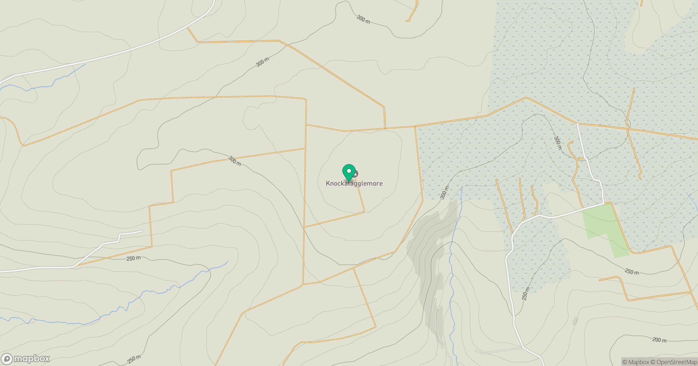
Grid reference: W016981
View on OpenStreetMapOpens a map in a new tab, centred on the hill.
Hills within 30 km
Straight-line distance, not a walking route or confirmation of access.
No comments yet. Be the first.